Years of experience
Countries
Projects

Jan van Bennekom-Minnema
MSc Geographical Information Management and Applications CV (English, short version)CV (Dutch, short version)
Jan van Bennekom-Minnema is a senior specialist in geographic information and land information systems (GIS/LIS) development.
He holds a Master of Science in Geographical Information Management and Applications (with distinction: cum laude) and is fluent in English, both spoken and written.
Jan has over 30 years of international professional experience supporting national and sub-national institutions across Africa, Europe, Latin America and the Caribbean, the Middle East, and Asia in the design, development and integration of fit-for-purpose, mission-critical geospatial information systems and databases.
His expertise spans a broad range of thematic and technical domains, including sporadic and systematic land registration and cadastral mapping, land valuation, digital field-based capture of land tenure data, spatial data infrastructures (SDI), land use and spatial planning (at national, regional and urban scale), and public asset management.
He has extensive experience in analysing, designing, integrating, producing and managing spatial data from diverse sources, formats, and institutional environments.
Throughout his career, Jan has held senior technical and leadership roles across the full lifecycle of project and system delivery, acting as technical lead, GIS coordinator, software development lead, geospatial systems architect, and quality auditor (QA/QC).
He has led activities related to business process redesign (BPR), software design and development, systems integration, spatial data science and analytics, data conversion and migration, and user training and capacity building.
He actively maintains and expands his expertise in established and emerging geospatial technologies, including geodatabases, geo-web services, and spatial data infrastructures, as well as in the effective use of open geospatial data, global spatial data platforms, and national statistical and census data.
Jan has experience with the following tools, methods, and programming languages in varying levels of competence (Basic, Capable, Accomplished and Authoritative):
- Information System Development
- (Geospatial) Database Management and Analysis
- Land Information Systems (GIS/LIS), Field Data Collection and Mapping
- Project & Quality Management and [Geographical] Information System Development Methods
- IT Solution Architecture/Configuration & Release Management
Services
Advice & support:
Deploy Geo-ICT
Advise and support regarding (geographic) information technology and architectures.
Handling and visualising (geographic) information
Collect, analyze, clean, convert, migrate, prepare, map and visualize (geographic) information for analysis and system integration.
Geo-Data Science & Analytics
Apply statistical and machine learning techniques to extract insights, build models, and support decision-making using (geographic) data.
Geographic and Land Information System (GIS/LIS) Development
Advise and support regarding fit-for-purpose software tools and business-critical (geographical / web based) information system architectures.
Business (Land) Process Redesign
Analyse, re-design and optimise business processes in land administration, land adjudication, and spatial planning.
QA / QC Software Development
Quality Assurance & Quality Control of software development and data production.
Capacity Building
Organisation and execution of Geo-ICT seminars and training


Portfolio
Examples of Projects & assignments
- All
- Land Administration
- Spatial Planning
- Land Valuation
- Land Information System
- Geographic Information System
- Field Data Collection
- Geospatial data(base) modelling
- Spatial Data Infrastructures
- Africa
- Asia
- Caribbean
- Europe
- Latin America
- Middle East

Land Information System (LIS) Expert
Technical Support to Land Sector Modernization in Timor-Leste
Timor-Leste
2/2026 - present
National Directorate of Land, Property and Cadastral Services (World Bank)
This project supports the Government of Timor-Leste in strengthening land registration and land information systems to address insecure tenure, overlapping claims, and weak land governance that constrain investment, credit access, and social cohesion

ICT Expert
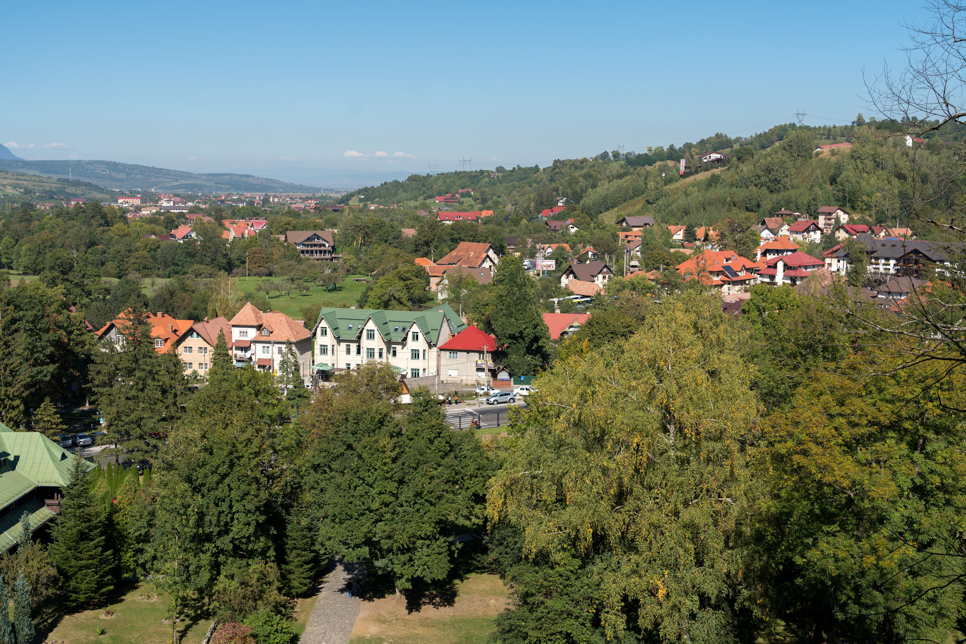
Support to Romania’s Land Sector Modernization for Disaster and Climate Resilience
Romania
9/2025 - present
National Agency for Cadastre & Land Registration (ANCPI) (World Bank)
ANCPI has requested the World Bank to conduct a comprehensive analysis of Romania’s land administration and geospatial information systems (including eTerra) and identify opportunities for addressing challenges that have restricted the agency’s digital transformation objectives.

Geospatial Mapping Specialist
Mainstreaming Sustainable Land Development and Management (SLDM)
Guyana
10 - 12/2025
Guyana Lands and Surveys Commission (GLSC) (Food and Agriculture Organization (FAO) of the United Nations)
The Mainstreaming Sustainable Land Development and Management (SLDM) project aims to create an enabling environment for sustainable and climate-resilient land development and management in Guyana. It focuses on policy, strengthening institutional and human capacity for integrated land governance, and piloting interventions in three targeted regions to promote participatory land use planning, sustainable practices, and rehabilitation measures.

ICT Consultant
Responsible and Innovative Land Administration (REILA III)
Ethiopia
10/2024 - present
Rural Land Administration and Use Lead Executive Office of Ministry of Agriculture (Ministry for Foreign Affairs of Finland)
The premise of the REILA III project (executed by NIRAS) is to increase agricultural resilience and support smallholders’ livelihood via improved land administration and secured land rights. The project aims to support maintenance and further development of the digitalized National Rural Land Administration Information System (NRLAIS).

Resource Expert on Digital and Integrated Land Administration Systems
Technical Deep Dive Event on Urban Planning and Land for Growth
Japan
10/2025
Tokyo Development Learning Center (World Bank)
The World Bank’s Urban, Resilience, and Land Global Practice, together with the Tokyo Development Learning Center (TDLC) and in partnership with the Bank’s Communities of Practice on Urban and Regional Planning and Land, has convened a Technical Deep Dive (TDD) event on Urban Planning and Land for Growth.

Ministry of Land Management, Cooperatives, and Poverty Alleviation (Korea-World Bank Partnership Facility (KWPF) )
The project (executed by Land Equity International [LEI]) aims to deliver comprehensive assessments and practical recommendations to support the digitalization and decentralization of land administration systems. It also seeks to establish a modern digital system for land valuation and taxation, while identifying and addressing legal and regulatory gaps requiring reform.

Lesotho Millennium Development Agency (LMDA) (Millenium Challenge Account)
The Market Driven Irrigation Horticulture (MDIH) Project (within the Lesotho 2 Compact) aims to increase rural incomes related to commercial horticulture, including for women, youth and the rural poor, and to establish a sustainable and inclusive model of irrigation, water and land resource management. The MDIH Land and Gender Activity is executed by Land Equity International [LEI].

United Nations - Economic Commission for Africa
The Computerized Property Tax Administration (CPTA) project aims at modernising the property tax system in Ethiopia, with effective and efficient property tax administration, streamlined processes, revenue generation for the provision of vital urban services.

Information Manager / GIS Coordinator
Support Public Asset Management
The Netherlands
3/2023 - 5/2024
Mapping, GIS and 3D modelling Expert
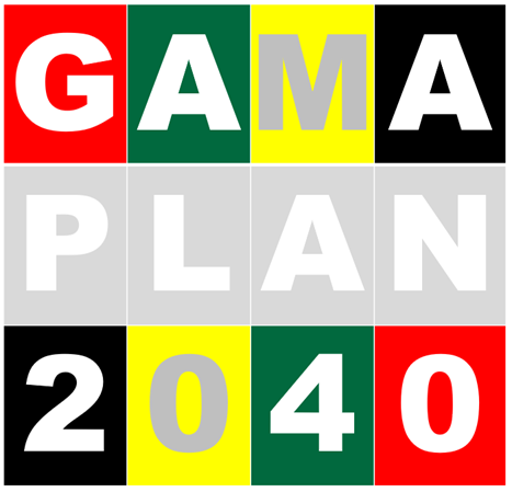
Greater Accra Metropolitan Area (GAMA) Structure Plan
Ghana
11/2021 - 2/2023

GIS Expert
Analytical Advice to Support Green, Livable and Resilient City Development in Serbia
Serbia
10/2021 - 2/2023
Ministry of Construction, Transport, and Infrastructure (World Bank Group)
Support the Government of Serbia regarding green and climate smart urban and spatial development through comprehensive analytical work. Address the system of cities in Serbia with the aim of deepening the knowledge base and policy dialogue toward more inclusive, sustainable, resilient, and green urban development, including in lagging regions.

Ministry of Lands, Housing and Urban Development (African Development Bank)
Assist the Government of Uganda with preparation of the Jinja-Kampala-Mpigi (JKM) Physical Development Plan: with a unifying vision and development goals for the JKM corridor; integrate existing planning and initiatives; and prepare an integrated JKM Plan.


Advisor Project Management & Software Development QA and QC Auditor
Software Development Process Improvement
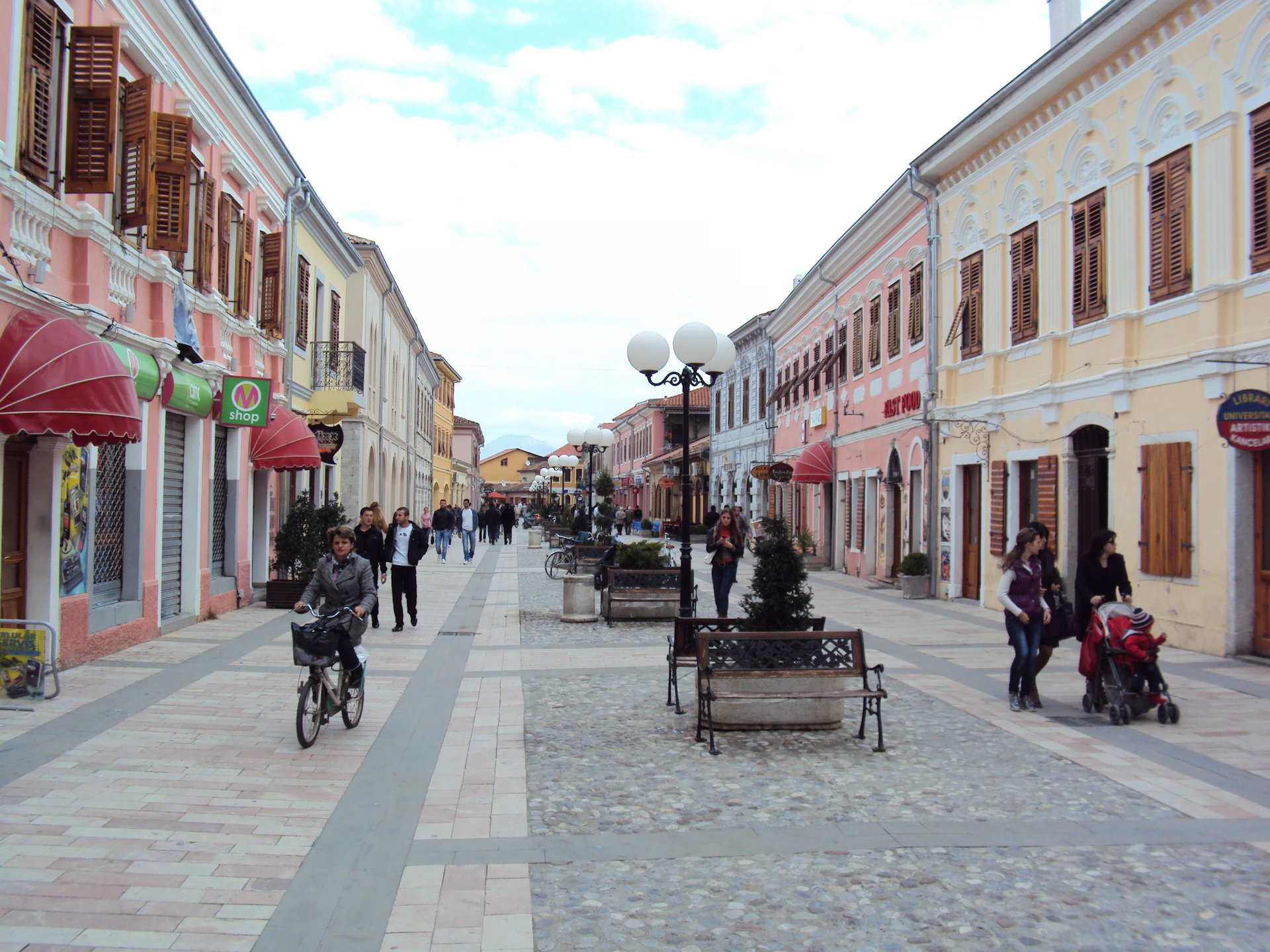
Albania
5 - 6/2021 & 1/2023
Maseru City Council (World Bank)
As part of World Bank’s Private Sector Competitiveness and Economic Diversification Program (PSCEDP) Phase II: establish a city plan (Maseru Spatial Strategic Development Framework [SDF]) for the capital Maseru, addressing sustainable urbanization and efficient development control up to the year 2050.

Real Estate General Authority (REGA) (World Bank)
The Government of the Kingdom of Saudi Arabia (KSA) is scaling up their title registration program, including the conversion of its deeds system to a title registration system, for which the Real Estate General Authority (REGA) has been made responsible.

Senior IT Expert
Sustainable Land Administration and Management Project (SLAM)
Eswatini (Swaziland)
7/2017 - 8/2019

Ministry of Land Management, Water and Sanitation Services / Dept. Town and Country Planning
The NSP is a cabinet approved, 20-year strategy to influence the distribution of people and activities over Botswana’s territory, providing a clear spatial vision to guide future development and investment decisions: a spatial development framework (SDF) that guides national, regional, district, urban and rural development plans and strategies.

Cadastre and Property Registration IT Consultant
Review Solutions for Open Land Administration (SOLA) software
Italy
9 - 12/2018


LIS Software Quality Assurance and ICT Training Expert
Land Tenure Regularisation (LTR) programme
Rwanda
3 - 7/2015


Technical Quality Auditor of IT System Integration Project
Land Administration and Management Project
Albania
9/2014

IT/GIS Solution Architecture Expert
Services to study, analyse and design an Integrated Land Management Information System and enhancing accessibility of land records
Tanzania
8/2014

Senior IS Development/GIS Expert
Formulation of the National Spatial Development Framework
Ghana
12/2013 - 10/2014
Mapping / GIS Specialist and Production Manager
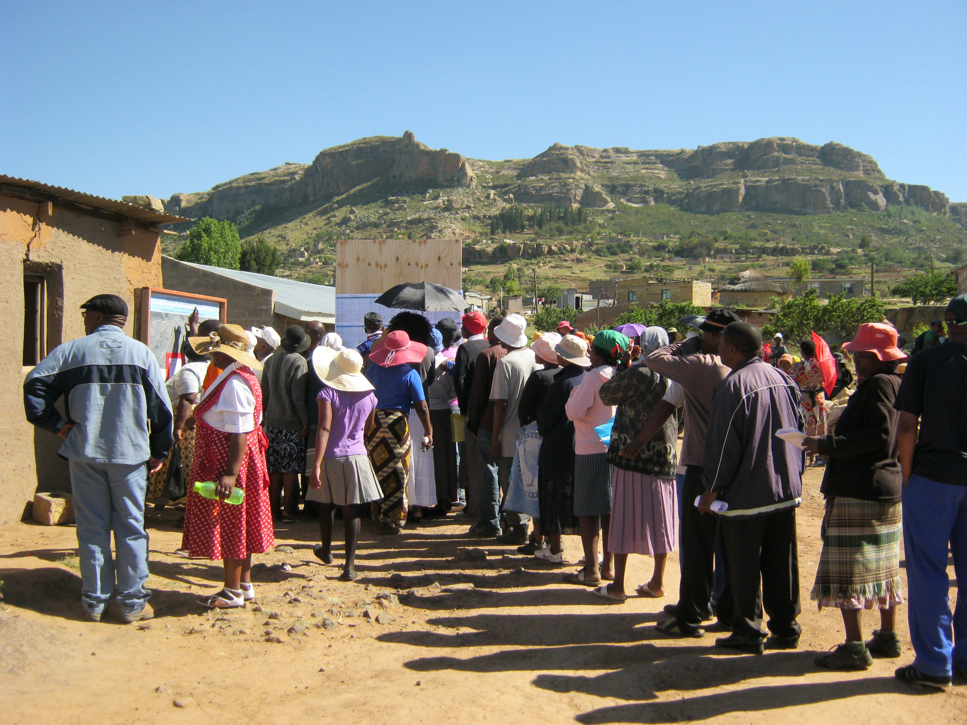
Systematic Land Regularization in Lesotho
Lesotho
4/2012 - 11/2013
Senior Advisor Project Management & IT QA and QC Auditor
Land Administration and Management Project (LAMP)
Albania
2/2010 - 4/2012

SOLA Project Auditor
Review Solutions for Open Land Administration (SOLA) project
Italy
11/2011 - 2/2012

Team Leader / IT Solution Architect
Consultancy Services to improve the operations of the Property Registries in Mozambique.
Mozambique
10/2009 - 9/2011
Advisor Project Management & QA/QC Expert
The Real Property Registration and Cadastre Joint Information System (JIS) Establishment Project
Croatia
7/2008 - 6/2010
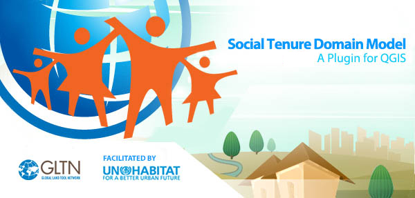
STDM Prototype Design Expert
Prototype of the Social Tenure Domain Model (STDM)
The Netherlands
7 - 10/2008
Team Leader, LIS Software and Database Developer
Land Administration Programme (LAP): Stage One of the Development of a LIS
Ghana
1 - 10/2008

Lead Information System Design Expert
Enhance the Cadastral Management Information System
Trinidad & Tobago
5/2007 - 5/2008
Lead Geographical Information System Development Expert
Services for data conversion to support implementation of the Cadastre and Real Property Rights Registration System in Romania
Romania
2/2007 - 1/2008


Project Manager for IT Strategy & Architecture
ICT Strategy for the Real Property Registration and Cadastre Joint Information System and Land database of Croatia
Croatia
4/2005 - 6/2006

Lead Geospatial Database Specialist
Consultancy Services for the Creation, Maintenance and Updating of Parcel Index Maps
Trinidad & Tobago
3/2004 - 6/2005

Configuration & Release Manager
Application Configuration Management for Oracle applications
The Netherlands
9/2002 - 12/2003

Team Leader, Cadastre Database Designer
Establishing a model for a cadastral database in Poland
Poland
10/2000 & 8/2002

Application Development Manager
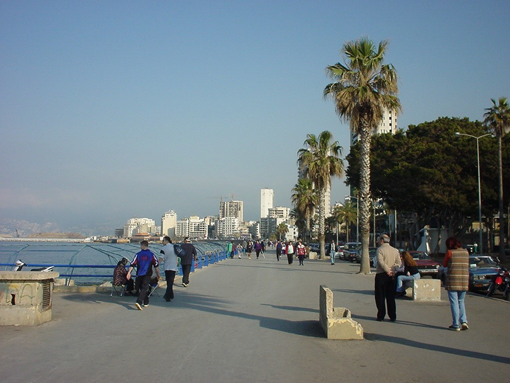
Cadastre Operations Modernisation and Automation Project (COMAP)
Lebanon
12/1998 - 3/2001
Coach Information System Development
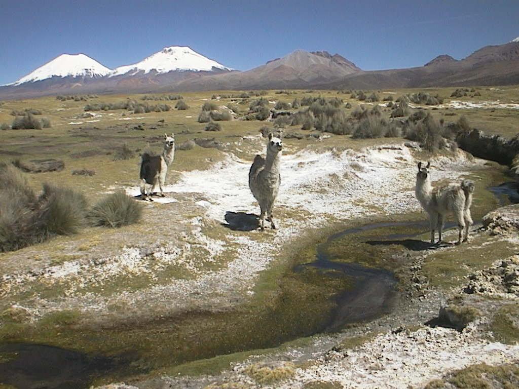
Develop the 'Sistema Automatizado Catastral'
Bolivia
8/1999 - 5/2000

Coach Information System Development
Consultant and trainer for cadastre and automation
El Salvador
2 - 6/1997